Sherman Island, Rio Vista, CA
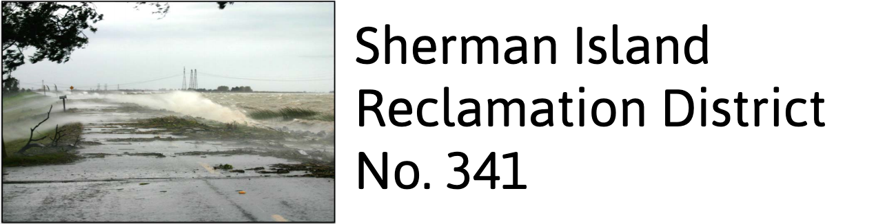
Sherman Island is a 10,000-acre Sacramento - San Joaquing (Delta) island located in the southwestern Sacramento County, California. The island is bordered on the northwest by the Sacramento River, on the northeast by Three Mile Slough, and the San Joaquin River. and Mayberry Slough to the south.
Sherman Island was one of the first in the Delta to be reclaimed during the period 1868-1879. The island is primarily used as pasture area, although agricultural farming, mainly corn, grains, and alfalfa are grown in the central and northeastern parts of the island. Elevations within the island vary from 0-23 feet relative to sea level.
The southwest portion of the island, known as Lower Sherman Island Wildlife consists of 3,100 acres and is known for fishing and water sports. The Delta breeze makes the area a perfect spot for windsurfing and kiteboarding.
Sherman Island is committed to wetland restoration maintaining 1,858 acres of habitat areas throughout the island.
The District has completed several projects which converted farmland into native habitat. The habitat areas on the island include the following:
- Parcel 11, an approximately 14-acre riparian forest/scrub-schrub mitigation site
- Mayberry Farms Subsidence Reversal Project, a 300-acre permanent wetland
- Whale's Mouth Wetland Restoration Project, a 600-acre permanent wetland
- Whale's Belly Wetland Restoration Project, a 936-acre permanent wetland
In addition, to the on-island habitat areas, the levee systems also suppprt waterside habitat. There are 8.5 acres of waterside habitat that were constructed as part of the Mayberry Slough Setback Levee Project.

